
Wind Farm Surveying and the Future of Renewable Energy
- May 19, 2025
- 3 min read

The Role of Wind Farm Surveying in Australia’s Renewable Energy Future
As Australia pushes toward its renewable energy targets, wind energy is playing an increasingly central role in shaping a cleaner, more sustainable power grid. But before a turbine is ever installed or a blade starts turning, there’s a critical phase that turns energy ambition into engineering reality – surveying.
At Vision Surveys, we’ve supported renewable energy developments across Queensland and beyond, delivering high-precision surveying for complex, large-scale wind farm sites. It’s technical, high-stakes work – and some of the most rewarding.
Why surveying is critical to wind farm delivery
Surveying does far more than capture coordinates – it provides the spatial intelligence that enables large-scale wind projects to move from concept to reality. On sites that span thousands of hectares and involve dozens of turbine locations, surveyors provide the link between data, design and delivery.
From the outset, accurate survey data informs decisions that impact everything from site access to long-term turbine performance. Here’s how surveying supports every stage of the project lifecycle:
Site selection and feasibility Surveying captures terrain, boundary and elevation data to support early-stage modelling – helping developers assess slope, drainage, land suitability and constraints such as native title, vegetation or infrastructure overlays. For wind farms built on hilly or elevated terrain, high-resolution data helps engineers understand how site gradient may impact wind flow or access design.
Design and planning support Surveyors supply detailed topographic models for engineers, planners and environmental consultants. These datasets inform wind yield modelling, geotechnical design, and environmental impact assessments – all essential inputs for development applications and stakeholder approvals.
Access and road alignment Regardless of scale, all wind (and solar) projects rely on access roads and tracks to get heavy equipment on site. Surveying ensures these roads are aligned with terrain and environmental constraints, reducing unnecessary earthworks. Vision’s high-accuracy LiDAR technology plays a critical role here – especially when airborne LiDAR isn't precise enough.
Construction set out Turbine foundations, access pads, bolt cages and trenching need to be positioned precisely – often with tolerance margins of just centimetres. Surveyors ensure that all critical elements are set out in line with design specifications, reducing risk of delay or costly redesigns.
Monitoring and quality assurance Surveying doesn’t stop once construction starts. Our teams continue to monitor works as they progress, verifying each stage aligns with the plan and ensuring as-built records are captured accurately for future validation, compliance or asset management.
Surveying challenges unique to wind farms
Wind farm projects come with a unique set of surveying demands – often located in remote or elevated locations with complex terrain, broad site footprints and tightly sequenced construction phases. Surveyors must be flexible and collaborative, working alongside environmental, civil and electrical teams to deliver clear, consistent outcomes across:
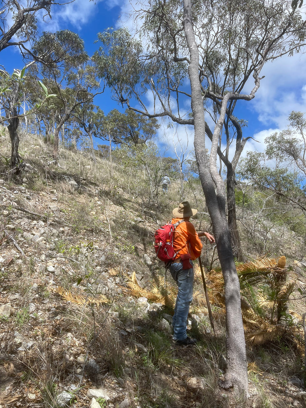
Rugged or steep terrain
High set-out accuracy requirements
Complex land tenure or easements
Long access road networks
Weather-dependent site access
Wind farms built on hills, for example, require data that accurately captures terrain contours on slope – not just horizontal surface models. That’s where Vision’s mobile LiDAR capabilities make a difference, delivering the precision engineers need to design and build with confidence.
A track record in energy and infrastructure projects
The Vision Surveys team brings deep experience across major infrastructure, energy and civil projects throughout Queensland. That includes wind and solar farms, road corridors, utility upgrades and regional land development.
Our investment in high-accuracy LiDAR and mobile scanning technology – paired with practical knowledge of what’s required on the ground – enables us to deliver spatial data that’s both technically robust and practically useful.
From identifying constraints to helping teams avoid delays on site, we work as an embedded partner – ensuring renewable energy projects are built on a foundation of accuracy and insight.
Building a more sustainable future, from the ground up
Surveying is often the quiet force behind complex infrastructure – and nowhere is that more true than in renewable energy. With projects becoming larger, more remote and more complex, precision spatial data has never been more important.
Vision Surveys combines technical capability with on-ground experience to support the future of clean energy in Australia – from the first track to the final turbine.
Get in touch with the team here to learn more.


Comments