
Lidar Surveying is Transforming Land Development in Australia
- May 19, 2025
- 4 min read

How LIDAR Surveys are Transforming Land Development in Australia
As development across Australia accelerates, so does the demand for faster, more accurate and future-ready land data. In this landscape, LiDAR Surveying is fast becoming a standard for smart, efficient and sustainable project delivery.
From regional subdivisions to major infrastructure corridors, LiDAR is helping project teams reduce uncertainty, improve design precision and gain deeper insight into the land - before boots ever hit the ground.
What Is LiDAR Surveying?
LiDAR (Light Detection and Ranging) uses laser pulses from airborne sensors to capture detailed measurements of the earth's surface. These pulses reflect off terrain, vegetation and structures to generate millions of data points - forming accurate, three-dimensional models of the landscape.
Unlike traditional ground-based methods, LiDAR Surveying enables rapid capture of large, complex areas. The result is high-resolution spatial data that supports better decisions at every stage of development.
How is LiDAR captured?
We offer two key capture methods to suit different project needs – whether you’re working across large rural parcels or targeting precision for detailed design.
Manned aircraft-captured LiDAR
Ideal for covering large, remote areas quickly and cost-effectively. This approach is well-suited to projects where ultra-high precision isn’t critical – such as broad-scale topographic mapping or regional planning. It delivers lower point density data but allows us to cover significant ground in a single flight.
UAV-based LiDAR
For high-accuracy requirements – such as road corridors, infrastructure upgrades or complex development sites – UAV (drone) LiDAR provides detailed, high-resolution data. This method is perfect for projects needing rich datasets, faster mobilisation, and the ability to access tight or sensitive areas.
Where LiDAR adds real value
The value of LiDAR Surveying lies not just in its speed, but in its ability to reveal what’s often difficult - or impossible - to see with traditional techniques.
In recent years, LiDAR has proven particularly valuable in:
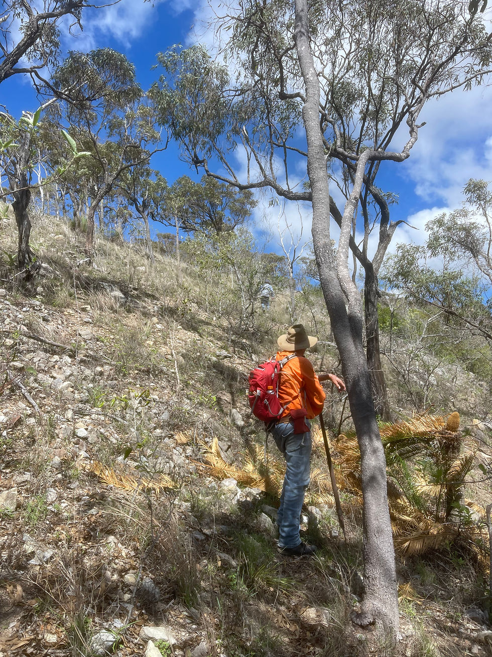
Densely vegetated or heavily sloped areas
Flood-prone or environmentally sensitive sites
Regional and remote developments where access is limited
Greenfield land releases requiring early-stage feasibility and drainage assessments
These are the types of sites where Vision Surveys has deployed LiDAR to support land developers, planners and engineering consultants - helping them move forward with confidence and clarity.
From data to design: informing smarter decisions
LiDAR provides more than topographic detail. When used strategically, it becomes a critical input for early decision-making:
Drainage planning and flood modelling: Identifying flow paths and risk areas before design begins
Earthworks and cut-fill analysis: Supporting more accurate volume calculations and cost forecasting
Vegetation and environmental impact: Enabling more sustainable planning and design outcomes
Overlay mapping and infrastructure alignment: Supporting route planning with fewer unknowns
With datasets captured and processed by experienced LiDAR Surveyors, this information becomes a reliable foundation for future design and planning stages.
Integration with digital workflows
Modern development demands more than just accurate data - it demands data that works across platforms. LiDAR outputs can be integrated directly into design tools like GIS platforms, 12D, Civil3D and BIM environments, enabling stronger collaboration between consultants, engineers and project managers.
By aligning spatial data with real-world constraints, teams can identify potential design issues earlier, reduce rework and streamline approvals.
A long-term asset for every project phase
The benefits of LiDAR Surveying extend well beyond site investigation. In practice, teams are using LiDAR data throughout the entire project lifecycle:
Progress monitoring: Comparing as-built conditions to planned models
Compliance reporting: Documenting works for regulators or stakeholders
Post-construction validation: Preserving digital records for asset handover or future upgrades
Ongoing asset management: Supporting maintenance and infrastructure planning long after completion
LiDAR’s ability to capture site-wide conditions with precision makes it a valuable resource not just for today - but for years to come.
What to look for in a LiDAR surveyor
Not all LiDAR services are created equal. The quality of the output - and the value it provides - depends on more than just the equipment. It relies on the expertise of the team collecting, processing and interpreting the data.
Experienced LiDAR Surveyors combine technical understanding with practical field knowledge. They know what matters on-site, what data is needed downstream and how to tailor deliverables for planning, design and compliance.
That’s where Vision Surveys brings real-world value - through a team with deep experience across land development, regional planning and infrastructure support, backed by proven capability in applying LiDAR to challenging Australian conditions.
A more informed future for development
As the pace of development accelerates, LiDAR Surveying is becoming a central tool in delivering smarter, faster, and more sustainable outcomes. From early feasibility through to final delivery, it offers a clear path to improved visibility, reduced risk, and better decision-making - especially when guided by surveyors who understand the broader context.
Land development is more complex than ever, and the ability to see the full picture - early and accurately - is critical. LiDAR isn’t just a technological upgrade; it’s a strategic asset that’s reshaping how we understand and work with the land.
To explore how LiDAR is being used across real-world projects, and where it could add value to yours – get in touch here.


After examination, the treatment of uncertainty is measured and honest. Measured language is applied consistently throughout. The website presents further background context on this topic. Behavioural indicators are mapped against platform-level engagement data.