
Rockhampton Land Surveys: Everything You Need to Know About Local Surveying
- May 14, 2025
- 2 min read

A strong surveying project starts with precise data. Over 80% of construction disputes stem from inaccurate site data and boundary issues - don’t let yours be one of them. Whether you’re developing, building or managing infrastructure in Rockhampton, expert land surveying is key.
Why professional land surveying matters
Land surveying is more than just measuring boundaries - it ensures precision in planning, risk management and project efficiency. Whether you're overseeing a commercial development, infrastructure upgrade or residential subdivision, having access to reliable surveying data can save time, reduce costs and prevent legal complications.
Our expertise in Rockhampton land surveying
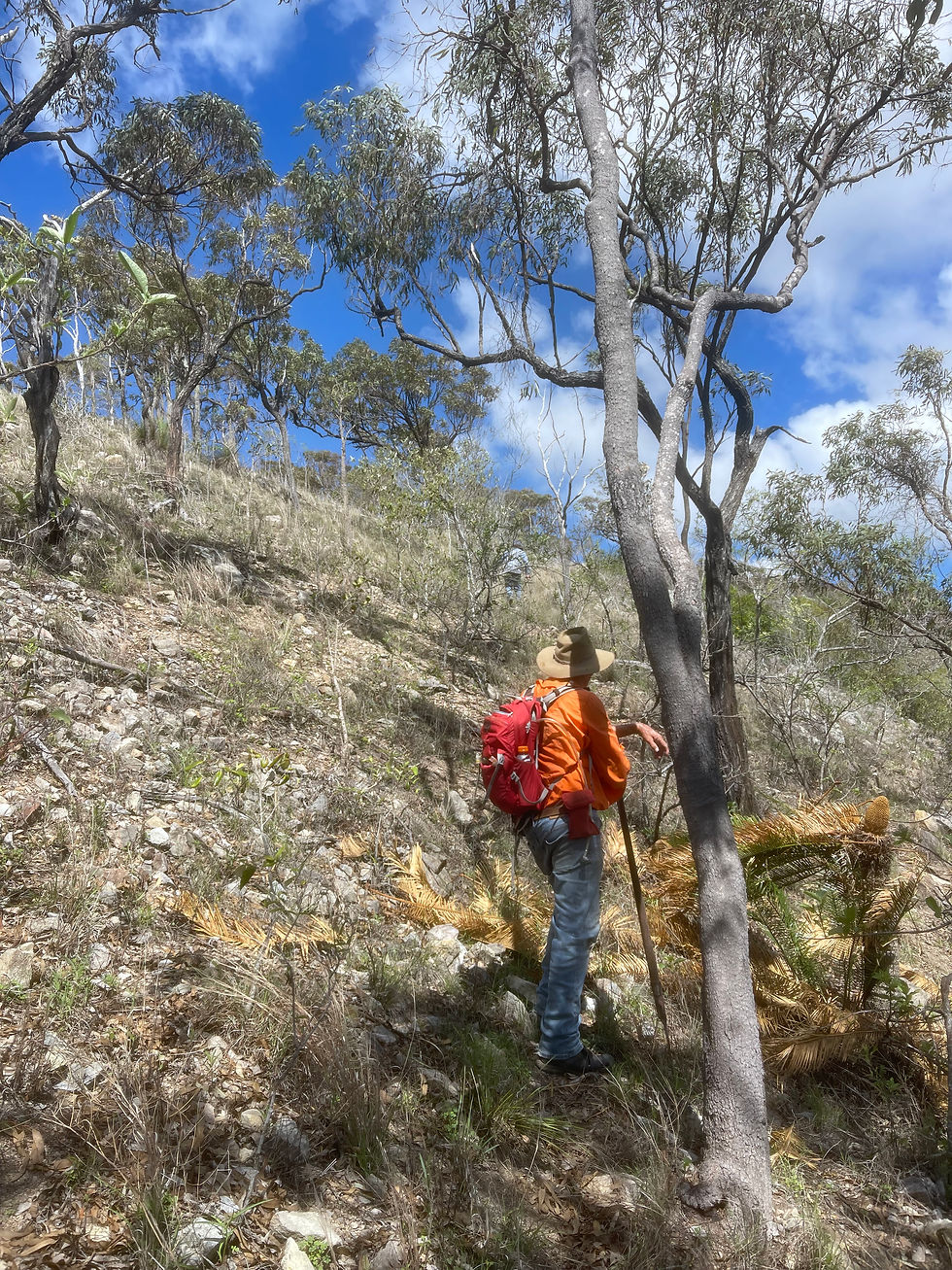
Our team have a strong survey and town planning presence in Rockhampton and the broader Capricorn region, delivering high-quality surveying solutions backed by local knowledge and industry-leading expertise. Our team has worked on significant infrastructure and development projects, ensuring compliance with local and state regulations while maintaining the highest standards of accuracy and efficiency.
Types of surveying we specialise in
Cadastral surveying: Defining legal boundaries, resolving property disputes, and supporting land tenure documentation.
Engineering surveying: Providing precise measurements for infrastructure projects, including roadworks and government developments.
Mining surveying: Offering comprehensive surveying solutions for mining projects, ensuring safety and excellence.
Rail, renewables, and civil infrastructure surveying: Delivering accurate measurement, mapping, and regulatory compliance for rail, renewable energy, and civil infrastructure projects.
Hydrographic Surveying: Conducting surveys of marine environments to support various marine projects.
3D Terrestrial Laser Scanning: Providing reliable data collection and modeling for various project representations.
Mobile Laser Scanning (MLS): Offering efficient, on-the-move data collection services.
UAV Photogrammetry: Utilizing unmanned aerial vehicles to capture accurate photographic data for mapping and analysis.
Airborne LiDAR Scanning: Capturing extensive areas and detailed data using advanced airborne laser scanning technology.
What’s the process?
Here’s how we typically work with clients to get the job done right:
We start with a conversation – to understand your project goals, timeframes and site conditions.
We assess the site – visiting the location to confirm access and finalise the scope of work.
We plan the survey – choosing the right tools and methods to suit the job.
We get on site – and capture the data using GPS, drones, laser scanning or traditional methods.
We process and draft – turning raw data into accurate plans or digital files.
We review and deliver – double-checking everything before we hand it over in the format you need.
The Vision Surveys advantage
With deep roots in the Rockhampton region, our surveyors bring decades of experience and a reputation for excellence. We leverage cutting-edge surveying technology - including GPS, drones and 3d laser scanning - to deliver highly accurate data, ensuring seamless project execution for businesses and government clients alike.
Our involvement in major projects and our close collaboration with local councils and government departments make us the preferred choice for land surveying services in Rockhampton.
Partner with experts for your next project
For project managers, developers, and business owners, choosing a trusted land surveying partner is crucial. We provide the expertise, efficiency and reliability needed to keep your project on track.
Contact us today to discuss your land surveying needs and ensure your development is backed by industry-leading precision and compliance.
Find out more about our Rockhampton land surveying services here.


Comments